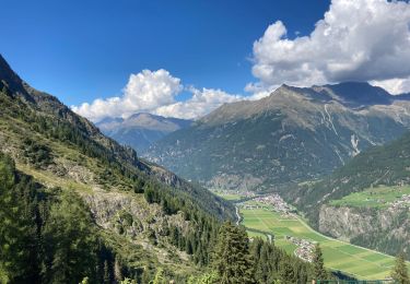
12,4 km | 21 km-effort
Huben 5,5 km
rvapeldo
Utilisateur GUIDE
Longueur
5,4 km
Altitude max
1239 m
Dénivelé positif
76 m
Km-Effort
6,5 km
Altitude min
1180 m
Dénivelé négatif
77 m
Boucle
Oui
Date de création :
2022-07-04 15:02:29.0
Dernière modification :
2022-07-04 16:35:57.989
1h33
Difficulté : Très facile
Application GPS de randonnée GRATUITE
À propos
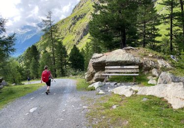
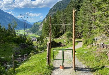
Randonnée Marche de 5,4 km à découvrir à Tyrol, Bezirk Imst, Gemeinde Längenfeld. Cette randonnée est proposée par rvapeldo.
Localisation
Pays :
Autriche
Région :
Tyrol
Département/Province :
Bezirk Imst
Commune :
Gemeinde Längenfeld
Localité :
Unknown
Départ:(Dec)
Départ:(UTM)
649999 ; 5211198 (32T) N.
Commentaires
Randonnées à proximité
Gries Amberger hutte 11 km
Marche
Moyen
Gemeinde Längenfeld,
Tyrol,
Bezirk Imst,
Autriche
11,6 km | 18,9 km-effort
4h 4min
Oui
Huben 12 km
Marche
Difficile
Gemeinde Längenfeld,
Tyrol,
Bezirk Imst,
Autriche
11,2 km | 23 km-effort
7h 45min
Oui
Oostenrijk Längenfeld camping Ötzal - Teufelskanzel
Autre activité
Facile
(1)
Gemeinde Längenfeld,
Tyrol,
Bezirk Imst,
Autriche
7,2 km | 12,1 km-effort
4h 43min
Oui
lac winebachseehutte gries autriche
Marche
Moyen
Gemeinde Längenfeld,
Tyrol,
Bezirk Imst,
Autriche
10,8 km | 22 km-effort
5h 11min
Oui
lac winebachseehutte gries autriche
Marche
Moyen
Gemeinde Längenfeld,
Tyrol,
Bezirk Imst,
Autriche
10,8 km | 22 km-effort
5h 11min
Oui
Pollalmhuette
Marche
Très difficile
Gemeinde Längenfeld,
Tyrol,
Bezirk Imst,
Autriche
14,5 km | 25 km-effort
6h 4min
Non
Winnebachseehütte
Marche
Difficile
Gemeinde Längenfeld,
Tyrol,
Bezirk Imst,
Autriche
4,8 km | 12,9 km-effort
Inconnu
Non
Haengenrucke
Marche
Moyen
Gemeinde Längenfeld,
Tyrol,
Bezirk Imst,
Autriche
6 km | 9,6 km-effort
2h 55min
Non